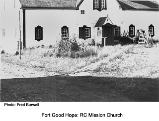
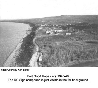
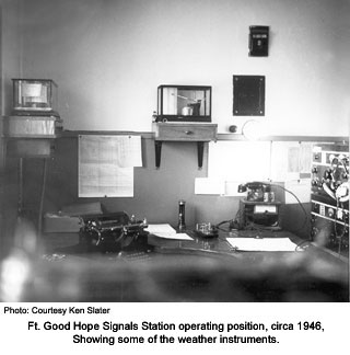
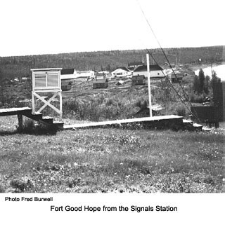
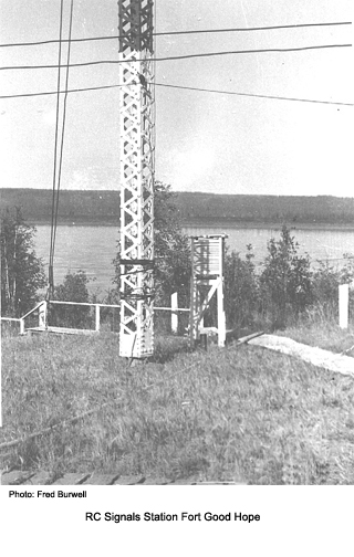
Position: 66:16N-128:38W. Opened in July 1944 to provide weather information and contacts for boats operating on the MacKenzie River and also to aircraft. Handed over to the Department of Transport on 15 August 1959.
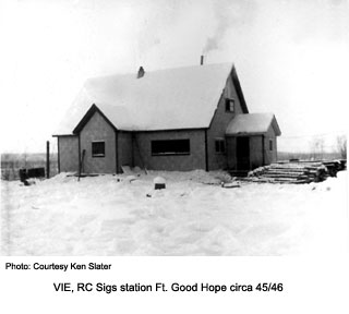
Comment from Harry Roe:
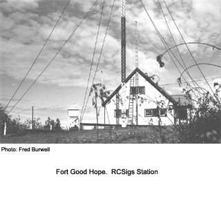
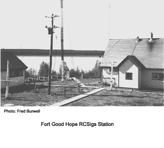
When we left in '48 there was no talk of those lattice steel masts. Good Hope was the only system station to copy the RCAF plane that rescued a sick Minister somewhere east of Coppermine on Operation Cannon. Just a guess but this phenomenal reception that the site had, may be the reason for the aerial upgrade. On occasion we copied Hawaii broadcast station. Not surprising we usually got Fairbanks better than Edmonton.--- 73 HR